Cadastre: an official app for tracking property values and notifications on mobile.
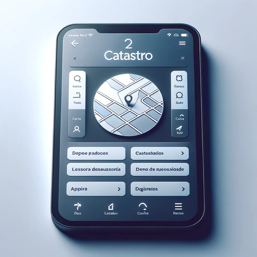
Recently, Spanish public authorities have been offering more conveniences for citizens to access their information or carry out certain procedures using mobile devices. Applications like "Carpeta Ciudadana" or "Tarjeta Sanitaria" allow users to make the most of their respective electronic platforms, and the Cadastre has also launched its own app. The Cadastre is a public registry that contains descriptions of agricultural, urban, and special properties. Additionally, registration in it is mandatory - and free - so if you own any property, you can access all the information through this app and even check its public market value, which is updated annually. The app is already available for download from the Google Play store completely free of charge, and various authentication methods are used to access the electronic platform. These include a digital certificate, cl@ve PIN, or permanent PIN. A cadastral reference can also be used. Many of its features can replace visiting the website or making a phone call, so they promise to be very useful.
This application was created to facilitate citizens' access to all their data. Immediately after authentication, the main screen will display the properties owned by the user. If there are no properties, nothing will appear. However, if there are, users can access many aspects of each property, starting with their location. Access to cadastral information and documents with descriptions and graphics for each property is also available. This data is official and can also be found on the Cadastral electronic platform. To simplify the use of the application, users can assign a nickname to each property - which is only visible to them - to better distinguish them. This nickname is not public; it replaces the cadastral reference for each property in the personal plan, which is displayed on every page of the main screen.
Cadastre Application
One of the most interesting options is the ability to start cadastral mapping by indicating the location and boundaries of the property on the map. In fact, it is even possible to get directions to help the user reach it in case they don't know how to get there.
If we are talking about real estate with vaguely defined boundaries, annotations and photos can be saved on its map to help localize the plot in the area. Then, a report will be generated in PDF format, which can be downloaded and saved on a mobile device for easy access if needed. You can also draw the boundaries by hand. All of this is intended for personal use, as it will not affect the registries.
One of the major advantages of the app is that users can receive notifications about any events related to their properties. These notifications can be turned off on the profile page, but it's better to keep them active to always stay informed about ongoing events and have the opportunity to review information when time allows. Each time a cadastral procedure affecting a property is conducted, a notification will be received showing the relevant object. It will indicate whether any documents need to be submitted or if any arguments need to be made regarding the file. If an application for assistance under the Common Agricultural Policy has been submitted, the status of the application will be provided.
It is important to keep in mind that these notifications are not considered notifications in the legal sense. They are not regarded as electronic delivery of notifications, as they should be verified through the electronic platform, and only when they are opened from there is the information considered delivered. Another interesting feature of the application is that it allows users to view land prices. Thus, the application will display on the map modules of average land prices in euros per hectare. These prices are determined by the General Directorate of Cadastre and are outlined in the Annual Report on the Agricultural Real Estate Market. Certain factors, such as location and urban infrastructure, are taken into account. This is an estimated price, so it is descriptive. Ultimately, if you own property, this is a great addition that, while not replacing the electronic platform, can serve as a source of information.
We will find property in Thailand for you
- 🔸 Reliable new buildings and ready-made apartments
- 🔸 Without commissions and intermediaries
- 🔸 Online display and remote transaction
Our managers will help you choose a property
Liliya
International Real Estate Consultant

Subscribe to the newsletter from Hatamatata.com!
Subscribe to the newsletter from Hatamatata.com!
Popular Posts
We will find property in Thailand for you
- 🔸 Reliable new buildings and ready-made apartments
- 🔸 Without commissions and intermediaries
- 🔸 Online display and remote transaction
Our managers will help you choose a property
Liliya
International Real Estate Consultant

Subscribe to the newsletter from Hatamatata.com!
Subscribe to the newsletter from Hatamatata.com!
I agree to the processing of personal data and confidentiality rules of Hatamatata
Need advice on your situation?
Get a free consultation on purchasing real estate overseas. We’ll discuss your goals, suggest the best strategies and countries, and explain how to complete the purchase step by step. You’ll get clear answers to all your questions about buying, investing, and relocating abroad.


Irina Nikolaeva
Sales Director, HataMatata