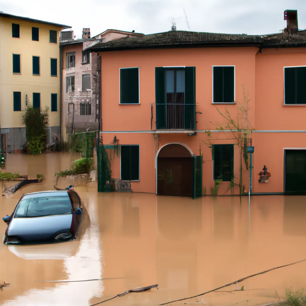
Risky flood zones in Italy?

Italy, with its enchanting beauty and diverse landscapes, is also a land of climatic contrasts that often result in massive floods. Recent climatic changes associated with global change have left new areas at high risk of flooding. In light of recent events, the European Commission has updated the map of the most risky areas: among them is the Italian peninsula. In this article, we examine the current situation, analyze the procedures in place to assess such risks and look at who is responsible for identifying flood-prone areas.
"Flood Risk Area Viewer", a new indicator from the European Commission
The latest flood events have proved tragic in different parts of Europe. Thanks to the cooperation between the Member States of the European Union, the European Commission and the European Environment Agency, an online tool has been developed that is available to all Member States in national language. This tool is called the "Flood Risk Area Viewer." This innovative tool presents for the first time on a single map the zones within the European Union that have been assessed by national authorities as potentially at significant risk of flooding. On the same map you can see preliminary flood risk assessments and flood management plans; by clicking on individual countries you can see additional information and contact the national authorities responsible for flood measures.
When viewing the Flood Risk Area Viewer, it is immediately apparent that the Italian peninsula is one of the most flood risk areas. In the following paragraphs, we will analyze which organization is responsible for hydrogeological monitoring in Italy and we will take a closer look at which geographical areas of our country are most prone to flooding.
ISPRA: Italian organization for flood risk assessment
ISPRA, i.e. the Institute for the Enhancement of Environmental Protection and Research, is a public research institution subordinate to the Ministry of Environment and Energy Security. ISPRA is responsible for monitoring and disseminating up-to-date data related to hydrogeologic risk. This institution relies on legislation governing the assessment and management of flood risks in order to reduce the negative impacts on human health, territory, property, environment, cultural heritage and economic and social activities caused by floods. ISPRA itself is also obliged to provide the collected data to the European Commission using certain technical specifications concerning preliminary flood risk assessment, flood hazard and flood risk maps, and flood risk management plans.
The areas of Italy with the highest flood risk
Compared to many other European countries, Italy is naturally at risk of flooding due to its geographical characteristics. However, the situation has deteriorated dramatically in recent decades due to increasing urbanization.
The increasing complexity of the flood risk problem in Italy requires careful and continuous monitoring. Expanding flood zones with increasing problems emphasize the need for careful site planning and increasingly effective prevention measures. It is essential that local, regional and national bodies work in synergy to ensure the safety of the communities involved. The tools and organizations described can be used by all to obtain the correct information that is the basis for preventing and containing flood damage. The map is constantly being updated, so it's important to keep up to date.
Also read: What to do in case of flooding? Rules of behavior.
Tags
Comment
Popular Offers

Subscribe to the newsletter from Hatamatata.com!
Subscribe to the newsletter from Hatamatata.com!
I agree to the processing of personal data and confidentiality rules of Hatamatata


